Geography
What are latitude and longitude?
Quick answer
Latitude and longitude are imaginary lines on Earth. Latitude measures how far north or south of the Equator you are; longitude how far east or west.
In one sentence
Latitude and longitude are a grid of imaginary lines drawn around Earth, so any place can be given an exact address made of two numbers.
Explained
On a town map you might use grid squares. For the whole planet, geographers use a grid wrapped around the globe, measured in degrees (°). It works a lot like coordinates in maths.
Latitude lines run east to west, like the rungs of a ladder ("lat" sounds like "ladder"). They measure how far north or south of the Equator you are. The Equator is 0°; the North Pole is 90° N and the South Pole is 90° S. Lines of latitude are also called parallels because they never meet.
Longitude lines run from pole to pole, like the segments of an orange. They measure how far east or west of the Prime Meridian you are. The Prime Meridian (0°) passes through Greenwich in London. Longitude goes up to 180° east and 180° west, which meet on the far side of the world, near the International Date Line. Lines of longitude are called meridians.
Latitude tells you a lot about a place. Near the Equator it is warm all year; near the poles it is cold. That is a big part of climate. Special lines include the Tropic of Cancer (about 23.4° N), the Tropic of Capricorn (about 23.4° S) and the Arctic and Antarctic Circles (about 66.6°).
 globe
globe map
map sun
sun snow
snow
Examples
Positions are written latitude first, then longitude (approximate):
| Place | Latitude | Longitude |
|---|---|---|
| London, UK | 51.5° N | 0.1° W |
| Lagos, Nigeria | 6.5° N | 3.4° E |
| Nairobi, Kenya | 1.3° S | 36.8° E |
| Sydney, Australia | 33.9° S | 151.2° E |
| Quito, Ecuador | 0.2° S | 78.5° W |
Quito is almost exactly on the Equator, and London sits right next to the Prime Meridian.
Common mistakes
- Swapping the order. Latitude always comes first, then longitude.
- Forgetting N, S, E or W. "34°, 151°" could be in four different places. The letters matter.
- Mixing up the line directions. Latitude lines go across (flat); longitude lines go long ways, pole to pole.
Quick quiz
Latitude and longitude
Check what you know with 4 quick questions.
Question 1 of 4
What is the latitude of the Equator?
Practise it
Try it
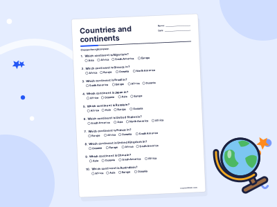
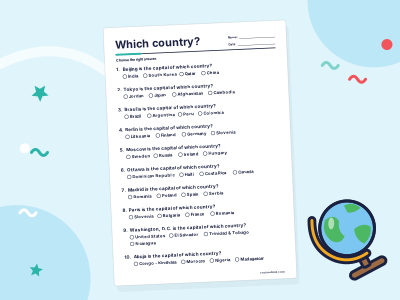
World maps and geography practice
For grown-ups
Related topics
Maps
A map is a drawing of a place seen from above. A key explains its symbols, a scale shows real distances and a compass shows direction.
Compass directions
The four main compass directions are north, east, south and west. Between them are northeast, southeast, southwest and northwest.
Coordinates
Coordinates are a pair of numbers that give an exact position on a grid, like (3, 5). The first number is how far across (x) and the second is how far up (y).
Climate
Climate is the usual pattern of weather in a place over many years, usually 30 or more. Weather is what is happening in the sky today.
Capital cities
A capital city is the city where a country's government is based. It is not always the biggest city: Nigeria's capital is Abuja, not Lagos.
Continents
Continents are the very large areas of land on Earth. In English-speaking schools you usually learn seven, but some countries count six.