Geography
What are the equator and the hemispheres?
Quick answer
The equator is an imaginary line around the middle of Earth. It splits the globe into the Northern and Southern Hemispheres. The prime meridian divides the Eastern and Western Hemispheres.


In one sentence
The equator is the imaginary circle halfway between the North and South Poles, and it divides Earth into two halves called hemispheres.
Explained
Earth is shaped like a ball, so there is no natural top or bottom, but geographers draw lines to describe places. The equator is the line around the widest part of the globe, midway between the North Pole and the South Pole. It is at 0 degrees latitude, and it is about 40,000 kilometres long. See latitude and longitude.
 globe
 sun
 map
The word hemisphere means "half a sphere". The equator splits Earth into the Northern Hemisphere and the Southern Hemisphere. Most of the world's land, and most people, are in the north. Another line, the prime meridian (0 degrees longitude), runs through Greenwich in London. With the line on the opposite side of the world, it divides the Eastern Hemisphere from the Western Hemisphere. A place can be in two hemispheres at once, for example the Northern and Eastern Hemispheres.
The equator crosses 13 countries, including Ecuador (which means "equator" in Spanish), Colombia, Brazil, Gabon, the Democratic Republic of the Congo, Uganda, Kenya, Somalia and Indonesia.
Places on the equator are hot all year, because the Sun is high in the sky. Day and night are each about 12 hours long in every season. Away from the equator, the seasons change more. Earth's tilt means that when the north leans toward the Sun, it is summer in the Northern Hemisphere and winter in the Southern. So Australia has summer at Christmas. Read more about this in seasons.
Other helpful lines are the Tropic of Cancer and Tropic of Capricorn north and south of the equator, and the Arctic and Antarctic Circles near the poles. Learn how to find places in maps.
Examples
| Line | Latitude or longitude | What it divides |
|---|---|---|
| Equator | 0° latitude | north and south |
| Prime meridian | 0° longitude | east and west |
| Tropic of Cancer | about 23.5° N | edge of the tropics |
| Tropic of Capricorn | about 23.5° S | edge of the tropics |
Common mistakes
- "The equator is a real line on the ground." It is imaginary.
- "The equator is the hottest place everywhere." Altitude and weather matter, and high mountains on the equator have snow.
- "North is up in space." Up and down do not exist in space. North at the top is a map habit.
Quick quiz
The equator and hemispheres
Check what you know with 4 quick questions.
Question 1 of 4
What does the equator divide Earth into?
Practise it
Try it
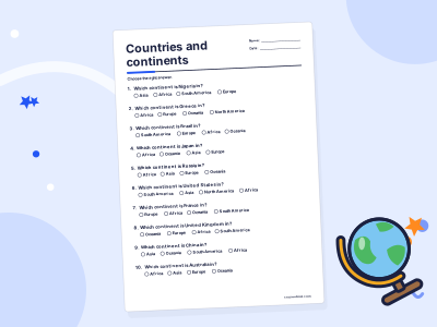
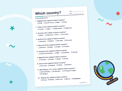
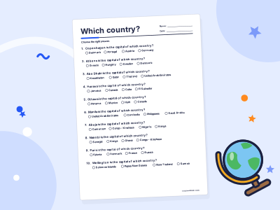
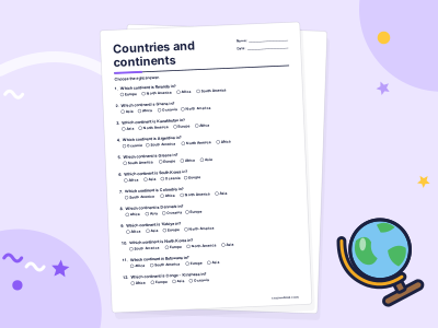
Countries and continents practice
For grown-ups
Related topics
Latitude and longitude
Latitude and longitude are imaginary lines on Earth. Latitude measures how far north or south of the Equator you are; longitude how far east or west.

Seasons
Seasons happen because Earth is tilted. As Earth orbits the Sun over a year, each half of the planet takes turns leaning towards the Sun, getting more direct sunlight and longer days.
Maps
A map is a drawing of a place seen from above. A key explains its symbols, a scale shows real distances and a compass shows direction.

Africa
Africa is the world's second-largest continent, with 54 countries, the Sahara Desert, the River Nile, the Congo rainforest and savannas full of wildlife.

The Amazon River
The Amazon is a huge river in South America that carries more water than any other river on Earth. It flows about 6,400 km from the Andes across Brazil to the Atlantic Ocean.

Antarctica
Antarctica is the frozen continent around the South Pole. It is the coldest, windiest and driest continent, covered by ice, and has no permanent residents.