Geography
What is a map and how do you read one?
Quick answer
A map is a drawing of a place seen from above. A key explains its symbols, a scale shows real distances and a compass shows direction.
In one sentence
A map is a flat drawing of a place as if you were looking down on it from the sky.
Explained
A map can show a bedroom, a school, a city or the whole world. Mapmakers shrink the real place down and use symbols instead of pictures, so lots of information fits on one page. Most maps have four helpers:
- Key (legend): explains what each symbol and colour means.
- Scale: tells you how map distance matches real distance, such as 1 cm = 1 km.
- Compass or north arrow: shows which way is north. Learn more in compass directions.
- Grid: lines with letters and numbers so you can say exactly where something is, like square C4.
World maps have a special problem. Earth is round, but paper is flat, and you cannot flatten a ball without stretching it. Every flat world map distorts something. A very common type, the Mercator map, keeps shapes good for navigation but makes places near the poles look far too big. Greenland can look as large as Africa, when Africa is really about 14 times bigger. A globe is the most accurate way to see the whole world.
To find places anywhere on Earth, geographers also use a worldwide grid called latitude and longitude.
 map
map globe
globe magnifying glass
 house
house
Examples
| Map feature | What it might look like |
|---|---|
| River | wiggly blue line |
| Main road | thick red or orange line |
| Forest | green area with small tree symbols |
| Railway | black line with small cross marks |
| Hill height | brown contour lines; close together means steep |
A grid reference: "The school is in square B3" means go along to column B, then up to row 3. Remember "along the corridor, then up the stairs".
Common mistakes
- Reading grid references up first. Always go along first, then up.
- Ignoring the scale. Two places that look close on a world map can be thousands of kilometres apart.
- Trusting one flat map for sizes. Check sizes on a globe or an equal-area map.
Quick quiz
Maps
Check what you know with 4 quick questions.
Question 1 of 4
What does the key on a map tell you?
Practise it
Try it
Map skills and geography practice
For grown-ups
Related topics
Compass directions
The four main compass directions are north, east, south and west. Between them are northeast, southeast, southwest and northwest.
Latitude and longitude
Latitude and longitude are imaginary lines on Earth. Latitude measures how far north or south of the Equator you are; longitude how far east or west.
Coordinates
Coordinates are a pair of numbers that give an exact position on a grid, like (3, 5). The first number is how far across (x) and the second is how far up (y).
Continents
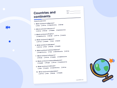
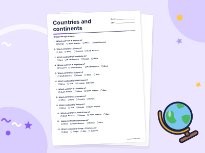
Continents are the very large areas of land on Earth. In English-speaking schools you usually learn seven, but some countries count six.
Capital cities
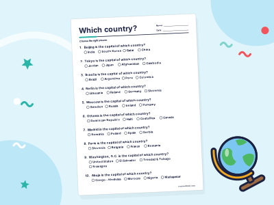
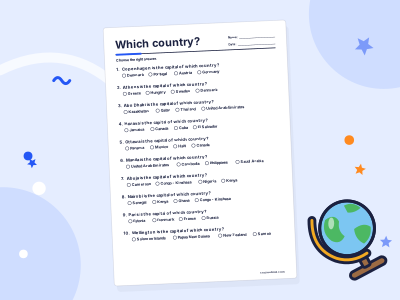
A capital city is the city where a country's government is based. It is not always the biggest city: Nigeria's capital is Abuja, not Lagos.
Countries
A country is an area of land with its own borders, government and laws. Most lists count 195 countries in the world today.